



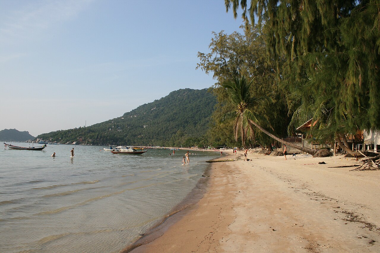
Ko Tao
Ko Tao is an island in Thailand and is part of the Chumphon Archipelago on the western shore of the Gulf of Thailand. It covers an area of about 21 km2. Wikipedia
Population 1,382 (Wikidata)
Before you go
Emergency numbers in Thailand
Visas and entry What your passport needs for Thailand
Daylight 11 h 32 in Dec, dark by 18:01 · 12 h 43 in Jun
- January: 11 h 36 of daylight
- February: 11 h 48 of daylight
- March: 12 h 03 of daylight
- April: 12 h 21 of daylight
- May: 12 h 35 of daylight
- June: 12 h 43 of daylight
- July: 12 h 40 of daylight
- August: 12 h 28 of daylight
- September: 12 h 11 of daylight
- October: 11 h 55 of daylight
- November: 11 h 40 of daylight
- December: 11 h 32 of daylight
Getting there
Remembered in this browser only, with the last few you used.
Best-documented sights
All of them in the guide- Star Hostel Attraction · 690 m
- View point on Sairee beach and Koh Nang Yuan Viewpoint · 450 m
- Sairee Viewpoint Viewpoint · 480 m
- Tanote Peak Viewpoint · 500 m
- Point of view Viewpoint · 610 m
- Love Koh Tao viewpoint Viewpoint · 840 m
- Top of the rock Viewpoint · 950 m
- King Chulalongkorn (Rama V) Memorial · 1000 m
Within a kilometre of the centre, ordered by how well documented each is — not by a "best" anyone decided. Each opens on the map in the guide. Photos from Wikimedia Commons, credited there.
Getting around
Places © OpenStreetMap contributors, as of 17 October 2026. Description from Wikipedia (CC BY-SA). Events from Wikidata and Wikivoyage, population from Wikidata.