



Hakodate
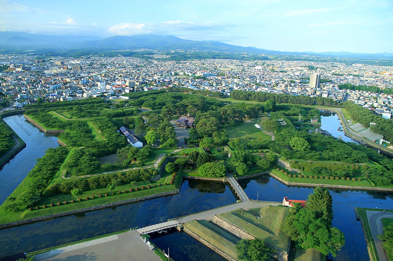
Hakodate is a city and port located in Oshima Subprefecture, Hokkaido, Japan. It is the capital city of Oshima Subprefecture. Wikipedia
Population 251,891 (Wikidata)
Before you go
Emergency numbers in Japan
- January: 9 h 28 of daylight
- February: 10 h 35 of daylight
- March: 11 h 52 of daylight
- April: 13 h 18 of daylight
- May: 14 h 31 of daylight
- June: 15 h 11 of daylight
- July: 14 h 56 of daylight
- August: 13 h 54 of daylight
- September: 12 h 32 of daylight
- October: 11 h 09 of daylight
- November: 9 h 52 of daylight
- December: 9 h 10 of daylight
Getting there
Remembered in this browser only, with the last few you used.
Best-documented sights
All of them in the guide- Future Center Hakodate Museum · 790 m
- 函館市立旭中学校跡記念碑 Memorial · 320 m
- The birthplace of Hakodate Asashi City Memorial · 880 m
- 旧函館駅所在地 Memorial · 950 m
Within a kilometre of the centre, ordered by how well documented each is — not by a "best" anyone decided. Each opens on the map in the guide. Photos from Wikimedia Commons, credited there.
Through the year
-
Port Festival
August
This is Hakodate's biggest carnival and known for very unique Hakodate Squid Dance (函館いか踊り Hakodate Ika-odori) in its parade Wassyoi Hakodate (ワッショイはこだて Wasshoi Hakodate).
-
Hakodate Christmas Fantasy
December
A giant Christmas tree is displayed floating on the sea in the red-brick warehouses (金森赤レンガ倉庫群) area during the festival each year. Lighting-up events with fireworks are held every night.
2 events here have no dates for this year yet. We can look them up on each event's own site.
Annual events from Wikidata and Wikivoyage (Hakodate); descriptions from Wikipedia where it has one, photos from Wikimedia Commons. Dates move year to year — check before you plan around one.
Markets

Markets mapped on OpenStreetMap, with their hours where someone has added them. Check locally before you go.
Somewhere to run
Getting around
- Matsukazechō 520 m
- Shiyakusho Mae 710 m
- Hakodateekimae 770 m
- Shinkawa-Chō 790 m
- Uoichibadōri 870 m
- Hakodate 1.0 km
More train stations: Goryōkaku 4.1 km
Places © OpenStreetMap contributors, as of 17 October 2026. Description from Wikipedia (CC BY-SA). Events from Wikidata and Wikivoyage, population from Wikidata.