



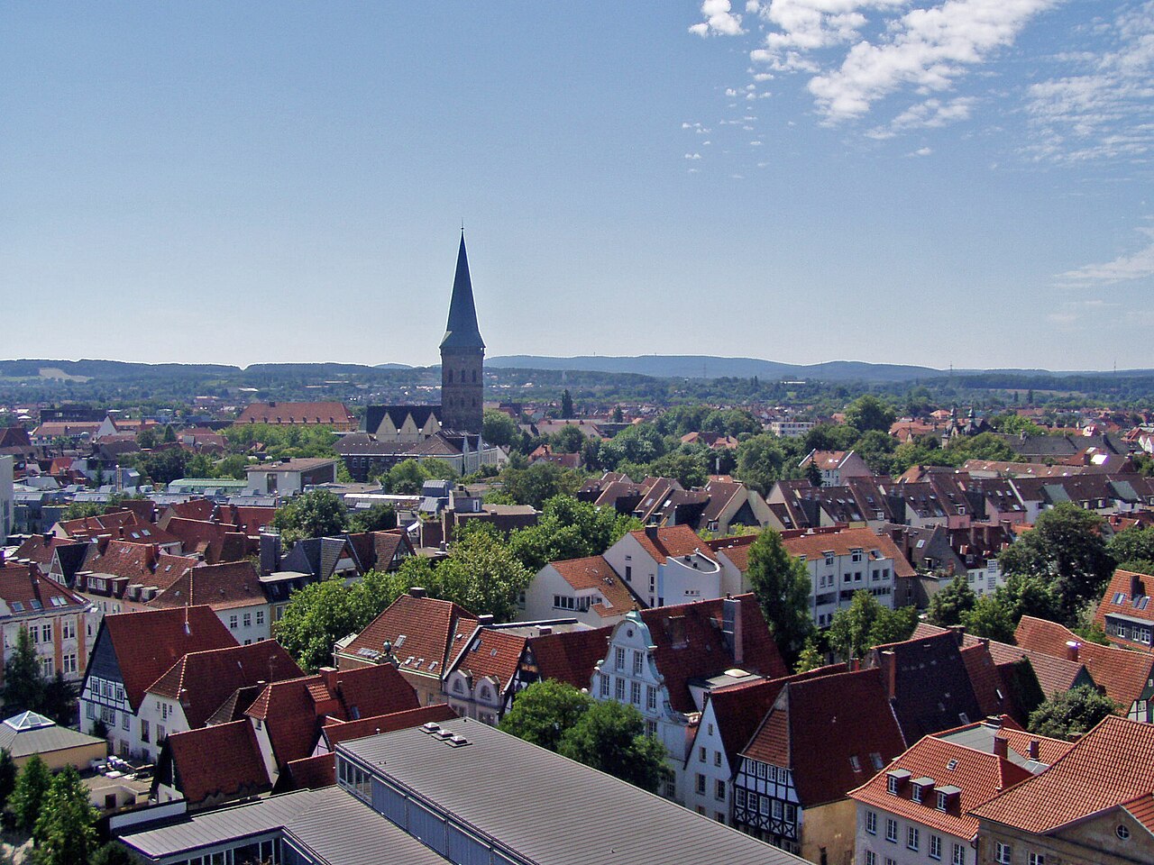
Osnabrück
Osnabrück is a city in Lower Saxony in western Germany. It is situated on the river Hase in a valley penned between the Wiehen Hills and the northern tip of the Teutoburg Forest. Wikipedia
Population 166,257 (Wikidata)
Before you go
- January: 8 h 13 of daylight
- February: 9 h 56 of daylight
- March: 11 h 48 of daylight
- April: 13 h 54 of daylight
- May: 15 h 42 of daylight
- June: 16 h 45 of daylight
- July: 16 h 19 of daylight
- August: 14 h 44 of daylight
- September: 12 h 43 of daylight
- October: 10 h 43 of daylight
- November: 8 h 48 of daylight
- December: 7 h 44 of daylight
Getting there
Remembered in this browser only, with the last few you used.
Best-documented sights
All of them in the guide- Kleine Kirche Church · 190 m
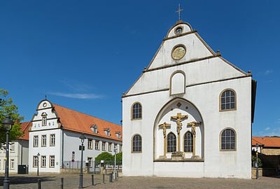
- Bergkirche Church · 550 m
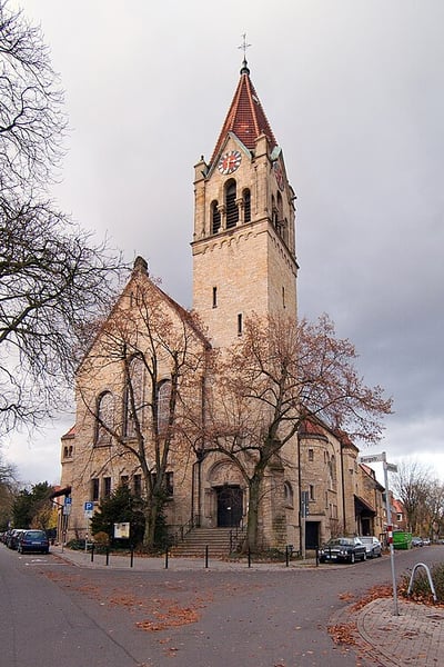
- St. Katharinen Church · 630 m
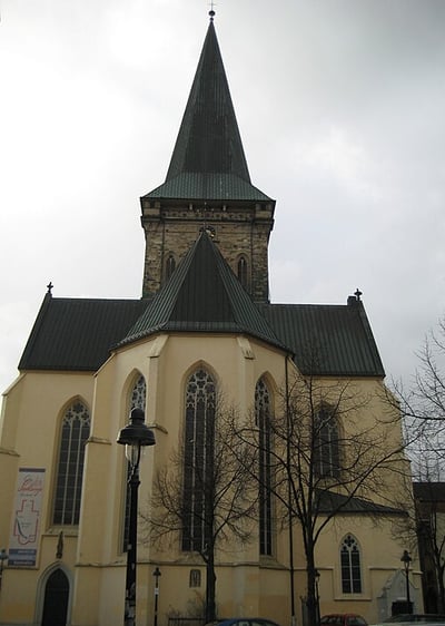
- Ebert-Erzberger-Rathenau-Denkmal Memorial · 280 m
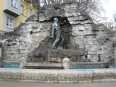
- Haarmannsbrunnen Attraction · 480 m
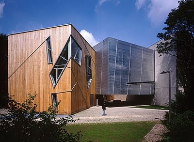
- Felix-Nussbaum-Haus Museum · 500 m
- Die Villa_ Museum · 510 m
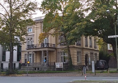
- Gestapo Keller Museum · 810 m
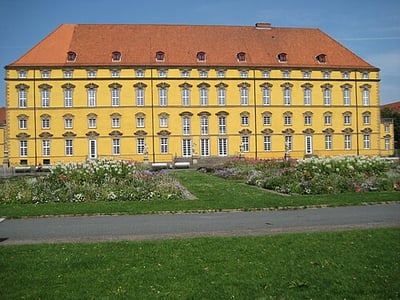
Within a kilometre of the centre, ordered by how well documented each is — not by a "best" anyone decided. Each opens on the map in the guide. Photos from Wikimedia Commons, credited there.
Markets
Markets mapped on OpenStreetMap, with their hours where someone has added them. Check locally before you go.
Eating nearby
All 58 places to eatSomewhere to run
Getting around
- Taxistand am Dom 230 m
- Bahnhof Altstadt 280 m
- Osnabrück Altstadt 290 m
- Taxistand am Neumarkt 750 m
- ZOB Osnabrück 1.2 km
- Taxistand am MHO 1.2 km
More train stations: Osnabrück Hauptbahnhof 1.4 km, Ostbahnhof (ODF) 2.1 km, Zechenbahnhof Piesberg 4.5 km, Bf. Südstieg 4.5 km, Hp. Schlammteich 4.6 km, Bf. am Haseschacht 4.7 km, Bf. Stüveschacht 5.3 km, Bf. Siebenbürgen 5.3 km, Osnabrück-Sutthausen 5.4 km
Places © OpenStreetMap contributors, as of 17 October 2026. Description from Wikipedia (CC BY-SA). Events from Wikidata and Wikivoyage, population from Wikidata.