



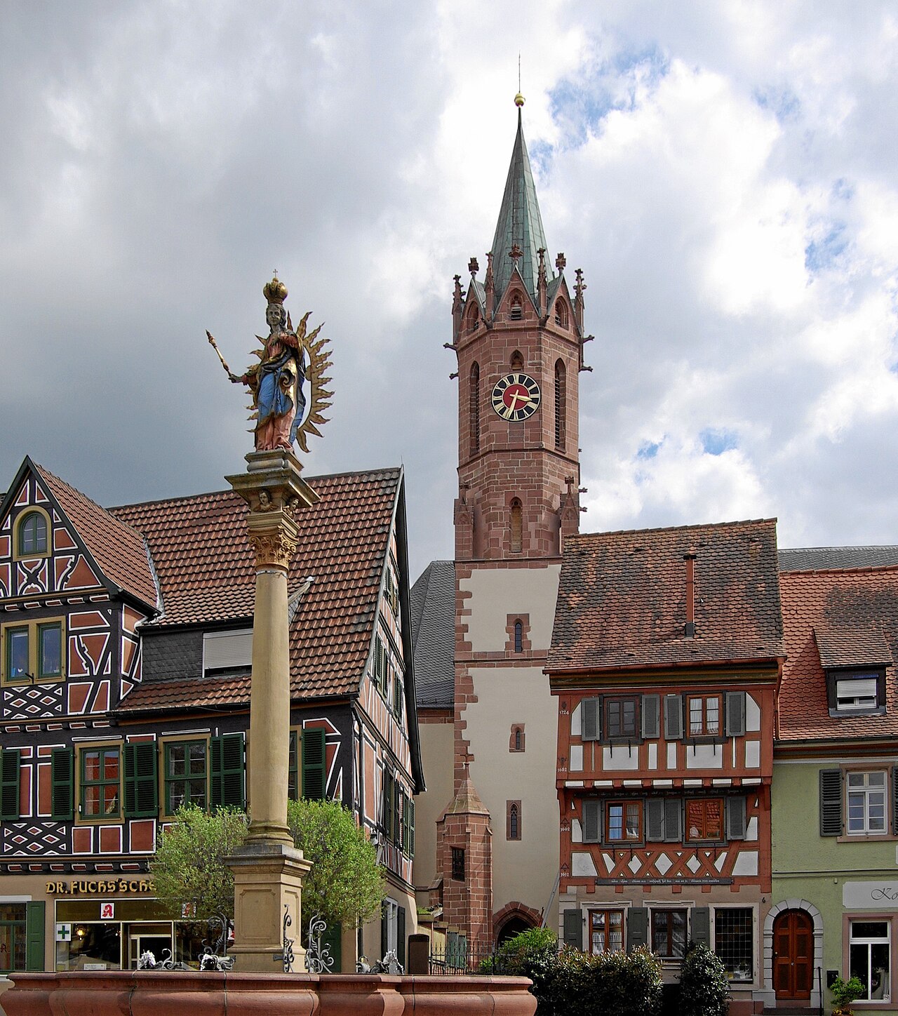
Ladenburg
Population 12,820 (Wikidata)
Before you go
- January: 8 h 37 of daylight
- February: 10 h 08 of daylight
- March: 11 h 50 of daylight
- April: 13 h 43 of daylight
- May: 15 h 20 of daylight
- June: 16 h 15 of daylight
- July: 15 h 53 of daylight
- August: 14 h 28 of daylight
- September: 12 h 39 of daylight
- October: 10 h 50 of daylight
- November: 9 h 08 of daylight
- December: 8 h 11 of daylight
Getting there
Remembered in this browser only, with the last few you used.
Best-documented sights
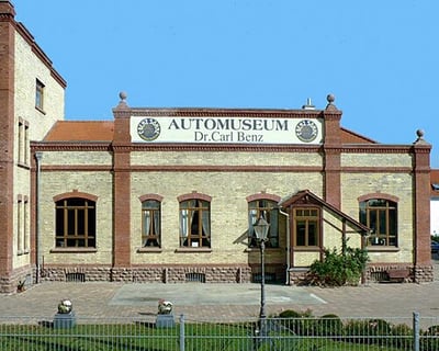
All of them in the guide- Automuseum Dr. Carl Benz Museum · 940 m
- Lobdengau-Museum Museum · 150 m
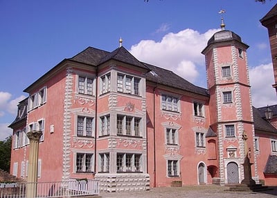
- H6 Gallery · 130 m
- Carl-Benz-Haus Museum · 230 m
- Das Haus "Zum steinernen Stock" Memorial · 10 m
- Römisches Kastell Museum · 70 m
- Stammlokal von Carl Benz Memorial · 70 m
- Römisches Kastell, Forum und Basilika Museum · 90 m
Within a kilometre of the centre, ordered by how well documented each is — not by a "best" anyone decided. Each opens on the map in the guide. Photos from Wikimedia Commons, credited there.
Through the year
-
Neckar
July
The river Neckar is the lifeline of Ladenburg. It is used for recreation, fishing (you need an allowance) and more. Every year in July there is also a Dragon Boat Festival
1 event here has no dates for this year yet. We can look them up on each event's own site.
Annual events from Wikidata and Wikivoyage (Ladenburg); descriptions from Wikipedia where it has one, photos from Wikimedia Commons. Dates move year to year — check before you plan around one.
Eating nearby
All 19 places to eatSomewhere to run
Getting around
- Ladenburg 530 m
- Anleger Ladenburg 900 m
- Anleger Neckarhausen 980 m
- Neu-Edingen Gewerbegebiet 2.3 km
- Edingen West 2.8 km
- Seckenheim OEG-Bahnhof 3.1 km
More train stations: Neu-Edingen/Friedrichsfeld 3.3 km, Seckenheim Rathaus 3.4 km, Edingen Bahnhof 3.4 km, Zentgrafenstraße 3.5 km, Schriesheim Bahnhof 3.7 km, Deutscher Hof 3.8 km, Heddesheim Bahnhof 3.8 km, Schriesheim Süd 4.0 km, Pforzheimer Straße 4.3 km, Leutershausen 4.5 km, Heddesheim/Hirschberg 4.5 km, Mannheim-Friedrichsfeld Süd 4.6 km, Dossenheim Nord 4.7 km, Wallstadt Ost 4.9 km, Dossenheim Bahnhof 5.1 km, Wallstadt Bahnhof 5.3 km, Großsachsen Süd 5.3 km, Taubenfeld 5.4 km, Duale Hochschule 5.4 km, Dossenheim Süd 5.6 km
Places © OpenStreetMap contributors, as of 17 October 2026. Description from Wikipedia (CC BY-SA). Events from Wikidata and Wikivoyage, population from Wikidata.