



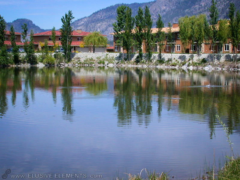
Osoyoos
Osoyoos is the southernmost town in the Okanagan Valley in British Columbia between Penticton and Omak. The town is 3.6 km (2.2 mi) north of the United States border in Washington and is adjacent to the Osoyoos Indian reserve. Wikipedia
Before you go
Emergency numbers in Canada
- January: 8 h 41 of daylight
- February: 10 h 11 of daylight
- March: 11 h 51 of daylight
- April: 13 h 43 of daylight
- May: 15 h 18 of daylight
- June: 16 h 11 of daylight
- July: 15 h 48 of daylight
- August: 14 h 24 of daylight
- September: 12 h 38 of daylight
- October: 10 h 50 of daylight
- November: 9 h 10 of daylight
- December: 8 h 15 of daylight
Getting there
Remembered in this browser only, with the last few you used.
Through the year
-
Annual Cherry Fiesta
July
Don't forget about the Osoyoos cherry fiesta which is held every year on July 1, Canada Day.
1 event here has no dates for this year yet. We can look them up on each event's own site.
Annual events from Wikidata and Wikivoyage (Osoyoos); descriptions from Wikipedia where it has one, photos from Wikimedia Commons. Dates move year to year — check before you plan around one.
Markets
Markets mapped on OpenStreetMap, with their hours where someone has added them. Check locally before you go.
Places © OpenStreetMap contributors, as of 17 October 2026. Description from Wikipedia (CC BY-SA). Events from Wikidata and Wikivoyage, population from Wikidata.