



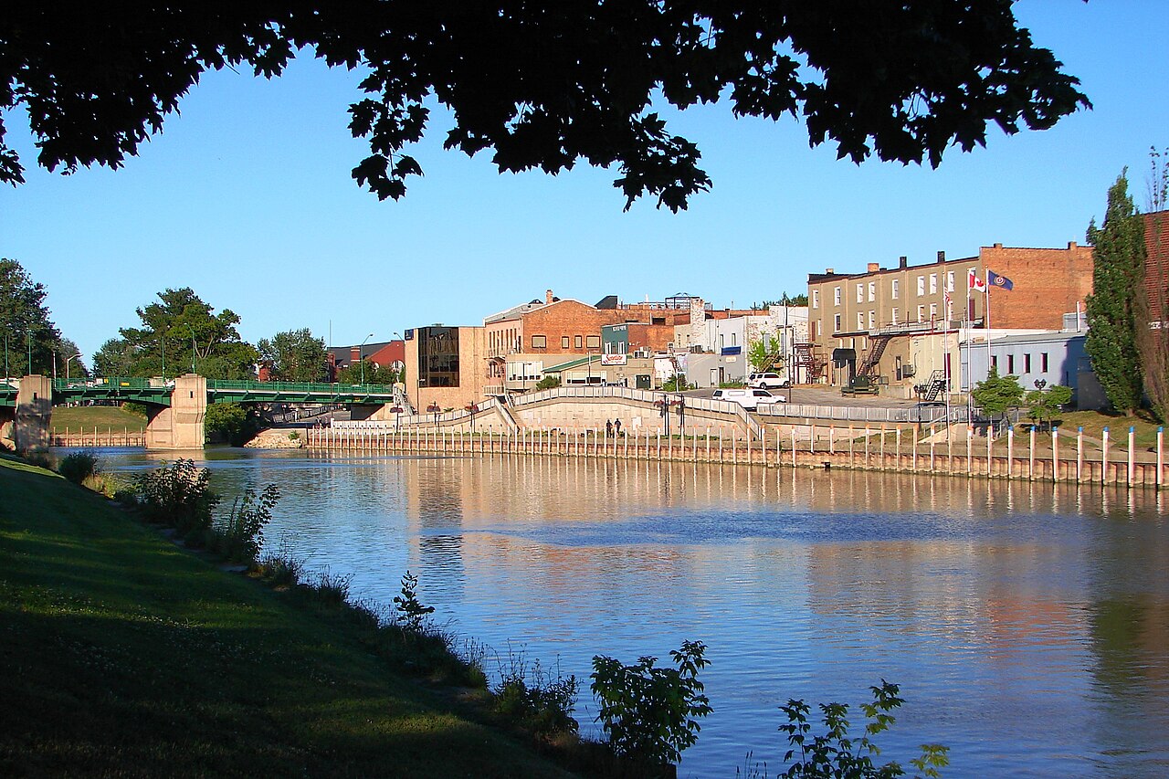
Chatham-Kent
Chatham-Kent is a municipality of 104,000 people (2021) which includes the former city of Chatham in southwestern Ontario, between Windsor and London. The municipality is defined as all of Kent County including Blenheim, Chatham, Dresden, Ridgetown, Tilbury and Wallaceburg. Wikivoyage
Population 103,988 (Wikidata)
Before you go
Emergency numbers in Canada
- January: 9 h 25 of daylight
- February: 10 h 35 of daylight
- March: 11 h 54 of daylight
- April: 13 h 22 of daylight
- May: 14 h 36 of daylight
- June: 15 h 16 of daylight
- July: 14 h 59 of daylight
- August: 13 h 55 of daylight
- September: 12 h 31 of daylight
- October: 11 h 06 of daylight
- November: 9 h 48 of daylight
- December: 9 h 06 of daylight
Getting there
Remembered in this browser only, with the last few you used.
Best-documented sights
All of them in the guide- Chatham-Kent Museum Museum · 870 m
- Heritage Tree Plaque Memorial · 310 m
- Chatham Railway Museum Museum · 420 m
- Military Cenotaph Monument · 650 m
- Heritage Tree with plaque Monument · 730 m
- Tecumseh Plaque Memorial · 740 m
- Battle of the Thames Info board 1 Memorial · 740 m
- Battle of the Thames Info board 2 Memorial · 750 m
Within a kilometre of the centre, ordered by how well documented each is — not by a "best" anyone decided. Each opens on the map in the guide. Photos from Wikimedia Commons, credited there.
Through the year
-
RetroFest
May
Kent Historic Auto Club car show, Friday and Saturday of Victoria Day weekend in late May
-
-
Boot Hill Country Jamboree
August
Three-day country music festival on Civic Holiday (first weekend in August)
-
Wallaceburg Antique Motor and Boat Outing
August
Antique cars, boats, aircraft, firetrucks, motorcycles. Model toys, arts, crafts, soap box derby, parades and classic car cruise. Food and drink, dance, live music and karaoke. Dead link
4 events here have no dates for this year yet. We can look them up on each event's own site.
Annual events from Wikidata and Wikivoyage (Chatham-Kent); descriptions from Wikipedia where it has one, photos from Wikimedia Commons. Dates move year to year — check before you plan around one.
Markets
Markets mapped on OpenStreetMap, with their hours where someone has added them. Check locally before you go.
Somewhere to run
Getting around
Places © OpenStreetMap contributors, as of 17 October 2026. Description from Wikivoyage (CC BY-SA). Events from Wikidata and Wikivoyage, population from Wikidata.